Wind, bushfire and drainage conditions in Berwick VIC
Berwick rises towards Harkaway in the north, so exposure and slope vary between streets. Parts of the City of Casey are mapped in the Bushfire Management Overlay or as bushfire prone, and the wind classification for each house is set by its own engineering. Check your lot rather than assuming a suburb-wide answer.




Wind
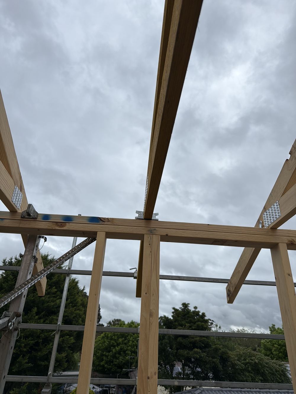
The wind class for your build appears on the engineering and governs bracing and tie-down. Elevated and exposed lots can rate higher than sheltered ones.
Bushfire
Some Casey properties sit in the Bushfire Management Overlay, which adds permit requirements for new homes. Your lot's mapping decides it.
Climate zone
Berwick falls within the cool temperate climate of greater Melbourne, which sets insulation and energy requirements under the NCC.
Water on sloping lots
Slopes push surface water towards houses on the low side. Ground falls, cappings and downpipe joints matter more here.
What we check
Fall away from walls, ponding on cappings and flashings, and how downpipes discharge.
More about Berwick
- Building a new home in Berwick VIC
- Buying an established home in Berwick VIC
- Growth and development in Berwick VIC
- Permits, council and building disputes in Berwick VIC
- Ground, floors and movement in Berwick VIC
- Termite risk and pest inspections in Berwick VIC
- What our inspectors find in Berwick VIC
Written by our local inspection team from work carried out in Berwick. Licensed building practitioners, Building & Plumbing Commission registration CDB-U 53425.